Inside the Satellite System That Brought Local on the 8s Home

Before smartphones and geo-targeted streaming, The Weather Channel used an ingenious custom computer at every local cable headend to turn one national satellite feed into thousands of hometown forecasts.
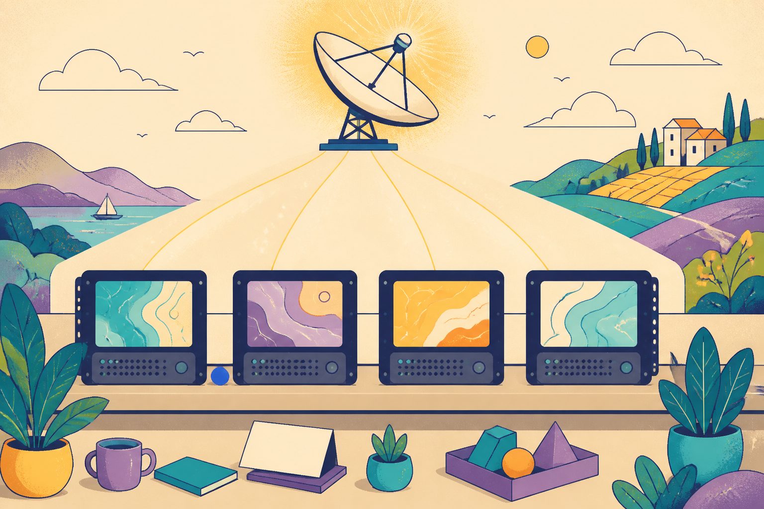
When we glance at a phone screen today, our pocket devices know our exact latitude, longitude, and neighborhood radar before the display even reaches full brightness. In May 1982, when meteorologist John Coleman and media executive Frank Batten launched The Weather Channel from Atlanta, Georgia, that kind of personal delivery sounded like pure fantasy. Television was strictly broadcast: a single network beam went up to a geosynchronous satellite, bounced down across North America, and landed on millions of living room screens showing the exact same image at the exact same second. If you lived in Duluth, Minnesota, your national cable channel showed the same screen as someone living in Key West, Florida. I spent time studying the early technical schematics of the network, and the solution the founding engineers devised remains one of the cleverest broadcast innovations in television history.
The network could not survive as a generic national map. Viewers did not turn on a weather channel to see what was happening two thousand miles away; they wanted to know if they needed an umbrella before walking out the front door. To solve this dilemma, the network engineered a proprietary hardware system called WeatherStar. That single invention allowed one shared satellite transponder to deliver thousands of completely distinct, hyper-local weather reports simultaneously.
The Satellite Transponder Addressable Receiver
The name WeatherStar was an acronym for Satellite Transponder Addressable Receiver. Instead of trying to transmit thousands of separate television video channels from Atlanta, which was financially and physically impossible on 1980s satellite bandwidth, the network transmitted only one live video channel. Tucked inside the invisible data stream of that signal was a continuous river of text and numerical weather data collected from National Weather Service observation stations across the United States.
The engineering magic happened on the ground. The Weather Channel built specialized rack-mount minicomputers and shipped one to the headend facility of every participating local cable operator in the country. A cable headend is the master distribution center where a local cable company collects satellite feeds, tunes frequencies, and pushes signals into neighborhood coaxial cables. When the WeatherStar unit was installed in a town like Peoria, Illinois, the local technician configured the machine with Peoria's specific county code and National Weather Service station identifier.
WeatherStar system specifications and milestones
- First Deployed
- May 2, 1982 with the launch of The Weather Channel
- Acronym Meaning
- Satellite Transponder Addressable Receiver
- Installation Location
- Local cable company headends across North America
- Data Delivery Channel
- Vertical Blanking Interval (VBI) and satellite audio subcarrier
- Iconic Model
- WeatherStar 4000 (introduced in 1990 with custom graphic maps)
- Modern Successor
- IntelliStar platform (introduced in 2000s for digital and HD distribution)
Hijacking the National Video Feed on the Eights
Day and night, the national feed broadcast live studio meteorologists discussing national fronts, jet stream dips, and developing storm complexes. Meanwhile, every local WeatherStar box silently listened to the satellite data stream, continuously buffering current local temperatures, barometric pressures, wind speeds, and regional radar sweeps for its assigned town.
Every ten minutes, at times ending in eight (such as 7:08, 7:18, and 7:28), the Atlanta broadcast center transmitted an inaudible digital tone or cue packet. The instant that trigger arrived, every WeatherStar unit across America snapped into action. An internal video switch inside the rack-mounted unit cut away from the national studio video and inserted the local computer's own graphic output directly onto the subscriber's channel.
For two uninterrupted minutes, a viewer in Maine saw Portland temperatures and Doppler scans, while a viewer in San Diego saw Pacific coastal conditions. Both saw those tailored slides on the exact same channel number. When the segment ended, Atlanta sent a release tone, the local boxes switched off, and the broadcast cleanly returned to the national anchors mid-sentence.
Instant Emergency Warnings and Doppler Radar Feeds
The WeatherStar system did far more than deliver pleasant morning forecasts. It functioned as an automated emergency broadcast sentinel. By monitoring the National Weather Service data feed in real time, the unit decoded specific county alerts. If a severe thunderstorm or tornado warning was issued for the cable operator's service area, the WeatherStar box immediately overlaid a bright red or yellow warning crawl across the bottom of the screen, sounding an alert tone without requiring a human operator in Atlanta to push a button.
As Doppler radar networks expanded across the United States in the 1990s through the NEXRAD program, WeatherStar units received raw radar telemetry. The local processors converted those polar coordinate data points into clean regional map layers, displaying animated precipitation sweeps directly over county borders and highway lines.
From Teletext Grid to the Iconic WeatherStar 4000
The visual design of these local forecasts evolved through distinct hardware generations. In our review of archive broadcasts from the early 1980s, the original WeatherStar I and II units generated simple blocky text against monochromatic backgrounds. They looked more like airport arrival monitors than graphic television. They were prone to transmission errors if heavy clouds interfered with the satellite link.
Everything changed in 1990 with the rollout of the WeatherStar 4000. Built around customized graphics hardware and Motorola 68000-series processors, the 4000 introduced the warm navy-blue, orange, and cream gradient palettes that became a cultural touchstone of 1990s morning routines. It could render smooth vector-style regional radar loops, animated forecast icons with drifting clouds, and multi-layered local outlooks.
Inside The Weather Channel, these broadcast sequences were organized into standardized templates known as flavors. A cable operator could configure Flavor A for a fast one-minute update, Flavor B for a detailed three-minute regional radar and travel forecast, or specialized agricultural flavors in rural markets. No matter the format, the system ran with remarkable industrial reliability.
| Generation | Debut Year | Graphics Style | Key Technological Breakthrough |
|---|---|---|---|
| WeatherStar I & II | 1982-1984 | Monochrome block text | Vertical blanking interval decoding at cable headends |
| WeatherStar III / 3000 | 1986 | Multi-color teletext rows | Automated National Weather Service alert tone generation |
| WeatherStar 4000 | 1990 | Full-color vector graphics & radar | Local animated Doppler radar rendering and custom font engines |
| WeatherStar XL | 1998 | High-resolution 3D transitions | Automated synthetic voice-over narration and animated cloud layers |
| IntelliStar Series | 2003 | High-definition digital video | DualFeed internet-hybrid data and targeted local video crawls |
The Living Legacy of a Shared Morning Ritual
What made the WeatherStar system so memorable was not merely its engineering efficiency, but the quiet, comforting atmosphere it created in millions of homes. In an era before endless push notifications, sitting with a warm cup of coffee and waiting for the local forecast on the eights felt like a peaceful morning ritual. The gentle keyboard melodies playing behind crisp local radar maps gave mornings an unhurried, reassuring rhythm.
Today, that affection remains vibrant. A dedicated community of independent software engineers and retro tech enthusiasts has built open-source WeatherStar 4000 emulators. By feeding live National Weather Service data into recreated 1990s graphic rendering engines, they keep the classic blue-and-orange forecast screens alive on modern computers. I find it deeply heartening that a machine originally built to solve a practical cable distribution constraint became a beloved piece of American cultural memory.
Sources
Every factual claim above traces to one of these. Links open in a new tab.
- WeatherStar - History and Technical Overview
- The Weather Channel - Network Profile and History
- Weatherscan Local Cable Broadcast System
- We're Addicted to This Gloriously Retro Digital Weather Channel
- Radar Operations and National Weather Service Radar FAQ
- The Weather Channel Deploys IntelliStar Platform Across Cable Systems
- Vertical Blanking Interval in Broadcast Television