A Field Guide to What El Niño Does to Snow

A strengthening Pacific current is about to redraw the winter snow map. Here is where the snow goes, and why one ocean current means a bare January in Seattle and a buried one in Flagstaff.
A strong El Niño does not switch winter off. It moves it. That is the idea I keep returning to now that the Climate Prediction Center is describing a Pacific warming event with a better than 90 percent chance of becoming very strong, and a 75 percent chance of outranking every El Niño measured since 1950. When the ocean off South America warms, the jet stream over North America bends south, and the snow follows. Whether that is good news depends almost entirely on where you live.
The mechanics are simpler than the headlines make them sound, and I think they are worth a minute, because everything else follows from them. El Niño is the warm phase of a Pacific cycle called the El Niño-Southern Oscillation, or ENSO. In an ordinary winter, the polar jet stream carries much of the storm energy across the northern United States. During an El Niño, the subtropical jet strengthens and drops south, steering moisture-rich storms across California, the Southwest, and the southern tier. The National Weather Service puts it plainly: the jet stream shifts farther south during El Niño, and the southern tier, from California to the Carolinas, leans cooler and wetter.
Where the snow actually lands
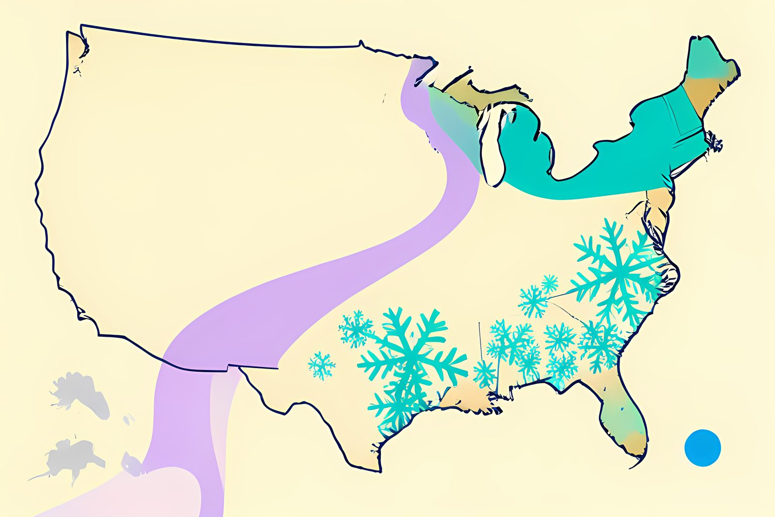
For snow specifically, that shift redraws the map. NOAA's Climate Prediction Center looked at snow seasons from 1950 through 2009 and found that El Niño winters tilt the odds toward more snow across the southern half of the country, especially west of the Mississippi. California, Nevada, Utah, Colorado, New Mexico, and Arizona all tend to come out ahead. The same analysis shows below-average snow from the Pacific Northwest across to the Great Lakes. A big El Niño is, in effect, a snow transplant.
You can see it in the places forecasters name. OpenSnow, which tracks conditions for skiers, lists Mammoth and China Peak in California's Central Sierra, Park City and Alta in Utah, Wolf Creek in southern Colorado, Taos in New Mexico, and Snowbowl and Sunrise Park in Arizona as the spots favored for an above-normal season. Those are not the places most people picture when they picture a deep winter. Flagstaff, Arizona, buried in powder is exactly the kind of surprise a strong El Niño delivers.
What is forecast for this winter
Here is where it becomes concrete. The Climate Prediction Center has issued an El Niño Advisory and says there is a greater than 90 percent chance of a very strong El Niño through the fall and winter of 2026 into 2027. For the peak stretch of October through December 2026, the center put the odds of a historic event at 75 percent, meaning an event that would exceed everything on record back to 1950. The August sea-surface temperature in the main monitoring region ran about 1.8 degrees Celsius above average, and it is still climbing.
The 2026-27 El Niño, by the numbers
- Current status
- El Niño Advisory from NOAA's Climate Prediction Center
- Very strong event
- Greater than 90 percent odds for fall and winter 2026-27
- Historic event
- 75 percent odds for October through December 2026
- August ocean anomaly
- About +1.8 degrees Celsius in the Niño-3.4 region
- Snow winners
- California, Nevada, Utah, Colorado, New Mexico, Arizona
- Snow losers
- Pacific Northwest through the Great Lakes
I want to be careful here, because the honest version matters more than the exciting one. A very strong El Niño raises the odds of the classic pattern, but it does not lock it in. The Climate Prediction Center says exactly that: impacts consistent with El Niño become more likely, though not guaranteed. Forecasters also caution that the precise peak strength remains uncertain. So read every snow map as a tilt, not a promise.
Forecasters lean on a handful of past events to think about what is coming. OpenSnow lists 1982-83, 1997-98, 2015-16, and 2023-24 as the closest historical matches, and none of them behaved identically. The 2015-16 winter produced the storm everyone calls Snowzilla, which buried the Mid-Atlantic under more than a foot of snow in January 2016. The 1997-98 winter, by contrast, ran warm and nearly snowless across much of the East. Same basic setup, wildly different outcomes, which is exactly why the forecasters say tilt instead of sure thing.
The delightful part nobody stresses
Here is what I find genuinely fun about all this. A strong El Niño is usually reported as a warm-winter warning, and for the northern tier that is roughly accurate. But for a wide band of the country, the same event is a snow gift. Places that rarely get a proper snow day - the high country of Arizona, the southern Rockies, the desert-adjacent ski towns - get the deepest seasons they have seen in years. The same ocean current that means a dry January in Seattle means a kid in Flagstaff learning to pack a snowball.
Snow is one of the few kinds of weather that still produces uncomplicated, wide-scale joy. The school closures. The first quiet morning after a storm. The smell of wet wool drying over a radiator. I suspect that is the real reason people keep searching what El Niño means for snow, well beyond any practical worry about shoveling. We want to know whether we get the magic this time.
Which version do you root for
If you live in the Pacific Northwest or the northern Rockies, you are probably hoping this forecast is wrong, and a strong El Niño is not your friend. If you live in the California Sierra, the Wasatch, or the high desert of Arizona and New Mexico, you are hoping it holds. That is the honest shape of the whole thing: one Pacific current, two very different winters depending on latitude.
The practical move is to watch the updated seasonal outlooks as winter approaches, since NOAA refreshes them monthly. But the more durable thing to carry away is simpler. El Niño does not erase winter. It relocates it, one jet-stream bend at a time, and this year it is pointing the snow at places that do not always get to keep it.
Sources
Every factual claim above traces to one of these. Links open in a new tab.
- ENSO Diagnostic Discussion
- Snow during El Niños from 1950 to 2009
- ENSO Effect On Our Winter Weather
- 2026-2027 Winter Forecast Preview
- El Niño Could Impact This Winter's Snowfall And Your Ski Trip
- How D.C. snow differs in El Niño and La Niña years
- El Niño returns: what the 2026-27 forecast actually tells us