Before a Delivery Drone Takes Off, a Map Has Already Picked Its Route

A delivery drone does not improvise from warehouse to yard. Static mapping, airspace constraints and a final live check give the trip its careful shape.

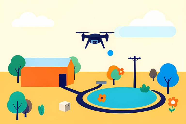
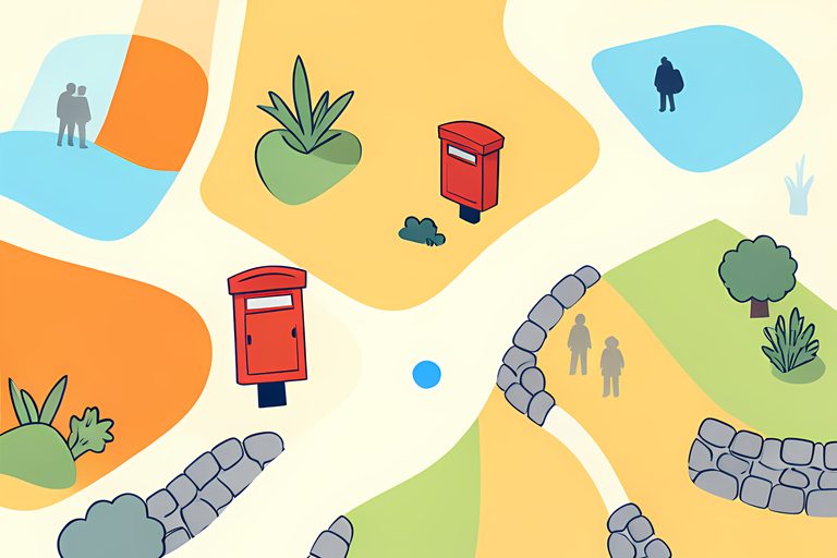
Before a delivery drone lifts a parcel, somebody has already done the least cinematic part of the job: made a map. I am fond of that detail because it turns the fantasy of a box zooming overhead into something more understandable. The trip is not a straight line from a warehouse to an address. It is a proposed path through buildings, wires, weather, airspace and the one patch of ground that can accept the parcel.
The public materials I checked do not publish every routing rule or every live flight path, so a reader should be cautious about claims that a drone has found the single perfect route. But Amazon's published descriptions and FAA guidance show the broad sequence clearly enough: map what is known, keep the operation inside the approved airspace, then keep checking what has changed.
First, the service builds a useful picture of the address
Amazon says its delivery maps identify candidate delivery zones at eligible addresses before a customer orders. The company describes them as areas clear of obstacles such as buildings or trees, then adds a delivery point that is reachable and useful for the customer. On its own example, a swimming pool can look like a lovely flat rectangle in satellite imagery but is not a valid landing or drop-off zone. Maps are clever, yet they still benefit from common sense.
At checkout, the customer confirms a preferred point rather than merely typing an address and hoping for aerial magic. Amazon says it removed the earlier requirement for a physical QR code at the destination, but it did not remove the need for a suitable place. A yard, driveway or other confirmed zone becomes part of the service's operating plan.
Next, the route has to fit an aviation operation
The FAA says commercial package-delivery paths must operate below 400 feet. It describes beyond-visual-line-of-sight operations as flights outside a pilot's direct view and says future UAS traffic management will communicate real-time airspace constraints to operators. That is a key distinction: the FAA is not portrayed as giving each drone positive air-traffic-control service like a conventional tower. Operators receive constraints and remain responsible for managing their flights safely inside them.
Amazon's safety-testing account supplies the smaller-scale picture. It says its Airspace and Mission Orchestration System makes a high-fidelity model of an operating area and creates paths that avoid known obstacles including buildings, bridges and power lines. The company also says it keeps drones in specific airspace away from airports and monitors the position broadcasts used by many aircraft. We can call that a route plan, not a guarantee that the air will stay frozen in place.
Then the map has to admit it cannot see tomorrow
A new parked car, a branch after wind, a temporary crane or a person walking through the delivery zone can make yesterday's map incomplete. Amazon says the MK30 uses cameras and sensors to check the environment and can avoid things that were not in earlier imagery. Its safety page says the aircraft can look for nearby alternatives if the original delivery or landing point is not clear. The company's goal is cautious behavior, not flawless foresight.
Weather gets a vote too. Amazon says it uses a 75-minute forward-looking weather service before making drone delivery available for the next hour, and does not offer the option when conditions are unsuitable. A map can know every roofline in a neighborhood and still lose the argument to poor visibility or strong wind. I appreciate that modest limit. The cleverest route is sometimes the one that stays on the screen.
What shapes one proposed trip
- Known place
- Mapped buildings, trees, bridges, power lines and a candidate delivery zone.
- Permitted airspace
- The operator's authorization and current airspace constraints.
- Live surroundings
- People, pets, vehicles and other obstacles near the final delivery point.
- Conditions now
- Weather and other circumstances that can make the service unavailable.
The most cheerful part of the system may be its respect for everyday clutter. A clothesline, a pool cover or a toy can defeat an otherwise sophisticated plan, and that is not a failure of imagination. It is the map remembering that an ordinary backyard is alive. When we read a drone-delivery proposal, the revealing question is not simply how far the aircraft can fly. It is whether the operator explains how that careful, revisable route gets made.
Sources
Every factual claim above traces to one of these. Links open in a new tab.
- How Amazon safety tested its new MK30 delivery drone
- Amazon's drones deliver items in 60 minutes or less
- How Amazon's delivery drones make smart landing decisions in unexpected conditions
- Package Delivery by Drone (Part 135)
- Finding of No Significant Impact and Record of Decision for Drone Package Delivery in Texas
- In front of overflow crowd Amazon detailed proposed drone delivery program for Westborough